Via address search and then clicking on the right-hand marker symbol. Or via clicking on "Add" (marker symbol) before clicking on a location on the map. Or via uploading a CSV file containing all address data which will be added one-per-one. To start this process, click on the "Import" button.
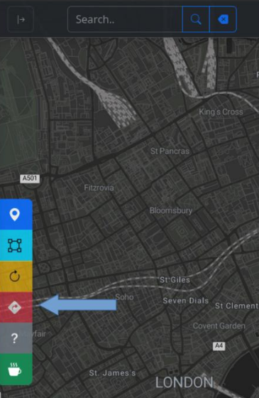
You first need to add all location markers, then click on the "Route" button (quadrangle symbol). The optimized route, waypoints and directions will be displayed.
For making changes in your route planning you have the option go back one-step (i.e. to add or delete location markers).
You can either download the route plan as a PDF incl. a map screenshot via clicking on "Print" or export the route trace as a GPX and CSV file by clicking on "Export".
You can drive the calculated route by clicking the "Navigate" button (road sign symbol) which will start Google Maps. If you want to walk or cycle, you can also use the "Locate Me" map pointer by opening "Settings".